 |
SEALEVEL STATION CATALOG (SSC) |
|
|
|
|
|
| Station catalog metadata [edit] | [station overview] |
|---|
| SSC ID | SSC-ving | | Station Name | Vinga2 | | Country | Sweden | | Latitude | 57.63165 | | Longitude | 11.608772 | | DateLastModified | 2025-03-03 11:48:28 |
| Linked codes |
|---|
| Codes | Location | Latitude | Longitude | Sensors | IOC: vin2 | Vinga2 | 57.631667 | 11.608889 | rad |
PSMSL: 2389 | VINGA2 | 57.63166666666667 | 11.608888888888888 | N/A |
| Distributed metadata source: IOC Sea Level Station Monitoring Facility vin2 |
|---|
| Status | Operational |
| Local Contact | Swedish Meteorological and Hydrological Institute ( Sweden ) |
| Other Contact | Swedish Maritime Administration ( Sweden ) |
| Connection | WEB service |
| Country | Sweden |
| Sensor 1 | |
| Type of sensor | rad |
| Sampling rate (min) | 1 |
| Distributed metadata source: PSMSL |
| Name | VINGA2 |
| Is RLR | N |
| Has RLR Diagram | N link |
| QC Flag | N |
| Last Updated | 2023-01-04 |
| Supplier | SWEDISH MARITIME ADMINISTRATION |
| Address | Swedish Maritime Administration, Hydrographic Office, Ostra Promenaden 7, 602 28 Norrkoping, SWEDEN |
| Metric Start | 2018 |
| Metric End | 2021 |
| Metric Completeness | 89.6 |
| Download metric sea level data. | Use only with extreme caution. |
IOC Sea Level Station Monitoring Facility - realtime graph for 'vin2' 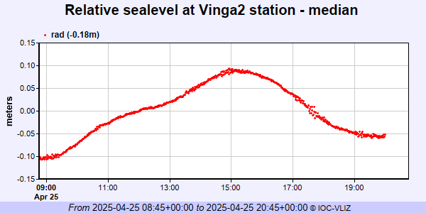 PSMSL Annual Mean Sea Level for '2389'  PSMSL Monthly Mean Sea Level for '2389' 
|
|
|