 |
SEALEVEL STATION CATALOG (SSC) |
|
|
|
|
|
| Station catalog metadata [edit] | [station overview] |
|---|
| SSC ID | SSC-fortd | | Station Name | Fort Dauphin | | Country | Madagascar | | Latitude | -25.01666 | | Longitude | 47 | | DateLastModified | 2025-05-08 22:03:21 |
| Linked codes |
|---|
| Codes | Location | Latitude | Longitude | Sensors | IOC: mfdf | Vieux Port Fort Dauphin | -25.027902 | 46.99665 | rad |
GLOSS: 271 | Fort Dauphin (Taolanaro) | -25.01666 | 47 | Float |
SONEL_TG: 2886 | FORT DAUPHIN | -25.02703700 | 46.99676900 | N/A |
| Distributed metadata source: IOC Sea Level Station Monitoring Facility mfdf |
|---|
| Status | Operational |
| Local Contact | IEST Anosy |
| Other Contact | Madagascar National Oceanographic Data Center |
| Connection | FTP box |
| Country | Madagascar |
| Sensor 1 | |
| Type of sensor | rad |
| Sampling rate (min) | 1 |
| Distributed metadata source: GLOSS Station Handbook |
|---|
| Time Zone | 045E, GMT + 3hrs | | Ocean | Indian | | Operational | Yes | | Responsible country | Madagascar | | Tide gauge benchmarks | Hydro-benchmark situated on the top of the well | | Benchmark relationships | Tide gauge zero (TGZ) = zero hydrographic
TGZ = 2.78m below TGBM
TGBM = 1.03m below benchmark BM: rivet set on the beacon in front of the tide gauge hut
| | Auxiliary benchmarks | Rivet set on the beacon in front of the gauge, 3.81m above zero hydrographic | | Other relevant information | The tide gauge has been adjusted by direct surveying with the hydrographic zero reference. The zero of tide state coincides with the hydrographic zero reference. |
IOC Sea Level Station Monitoring Facility - realtime graph for 'mfdf' 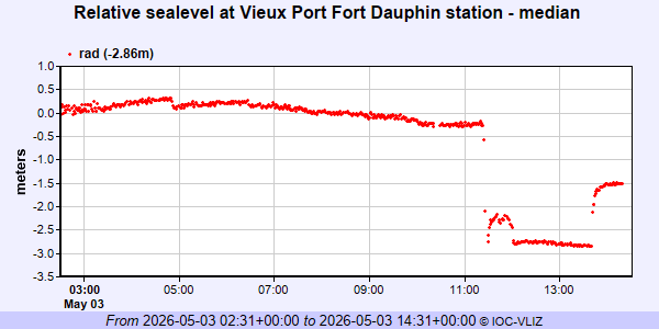
|
|
|