 |
SEALEVEL STATION CATALOG (SSC) |
|
|
|
|
|
| Station catalog metadata [edit] | [station overview] |
|---|
| SSC ID | SSC-stlu | | Station Name | Ganter's Bay | | Country | Saint Lucia | | Latitude | 14.016428 | | Longitude | -60.997351 | | DateLastModified | 2016-11-11 10:09:17 |
| Linked codes |
|---|
| Codes | Location | Latitude | Longitude | Sensors | IOC: stlu | Ganter's Bay | 14.016428 | -60.997351 | rad, pr1, pr2, bat |
PTWC: stlu | Ganters_Bay_St_Lucia_LC | 14.0164 | -60.9974 | p1, p2, rd |
PSMSL: 2005 | CASTRIES | 14.016667 | -61.0 | N/A |
| Distributed metadata source: IOC Sea Level Station Monitoring Facility stlu |
|---|
| GTS station code | 6B00103C |
| GTS message type | SOLC10 |
| Status | Operational |
| Local Contact | Saint Lucia Met Service ( Saint Lucia ) |
| Other Contact | Caribbean Institute for Meteorology & Hydrology ( Barbados ) |
| Other Contact | National Oceanography Centre ( UK ) |
| Other Contact | International Tsunami Information Center Caribbean Office ( USA ) |
| Connection | GTS message |
| Country | Saint Lucia |
| Sensor 1 | |
| Type of sensor | rad |
| Sampling rate (min) | 1 |
| Sensor 2 | |
| Type of sensor | pr1 |
| Sampling rate (min) | 1 |
| Sensor 3 | |
| Type of sensor | pr2 |
| Sampling rate (min) | 1 |
| Sensor 4 | |
| Type of sensor | bat |
| Sampling rate (min) | 5 |
| Distributed metadata source: PTWC COMP META file |
| DCP ID | 6B00103C |
| WMO | SOLC10 |
| Samp Rate | 1 |
| Num# Samp | 10 |
| Unit | M |
| Scale | 1.0000 |
| Xmt Int. | 005 |
| Fst Min. | 0001 |
| HAR | 1 |
| Owner | NOC |
| Distributed metadata source: PSMSL |
| Name | CASTRIES |
| Is RLR | N |
| Has RLR Diagram | N link |
| QC Flag | N |
| Old ID | 911/001 |
| Last Updated | 2003-01-14 |
| Supplier | C.P.A.C.C. / M.A.C.C. |
| Address | Regional Archiving Centre, University of the West Indies, St. Augustine, TRINIDAD AND TOBAGO |
| Metric Start | 2001 |
| Metric End | 2001 |
| Metric Completeness | 33.3 |
| Download metric sea level data. | Use only with extreme caution. |
IOC Sea Level Station Monitoring Facility - realtime graph for 'stlu' 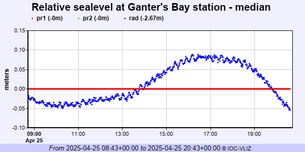 PSMSL Annual Mean Sea Level for '2005'  PSMSL Monthly Mean Sea Level for '2005' 
|
|
|