 |
SEALEVEL STATION CATALOG (SSC) |
|
|
|
|
|
| Station catalog metadata [edit] | [station overview] |
|---|
| SSC ID | SSC-sbdt | | Station Name | S. Benedetto Del Tronto | | Country | Italy | | Latitude | 42.955122222222 | | Longitude | 13.889758333333 | | DateLastModified | 2015-10-22 19:32:20 |
| Linked codes |
|---|
| Codes | Location | Latitude | Longitude | Sensors | IOC: SB36 | S.Benedetto Del Tronto | 42.955122222222 | 13.889758333333 | rad |
PSMSL: 2143 | SAN BENEDETTO DEL TRONTO | 42.955122 | 13.889758 | N/A |
SONEL_GPS: 3446 | SAN BENEDETTO DEL TRONTO | 42.88531597 | 13.91595606 | N/A |
SONEL_TG: 3445 | SAN BENEDETTO DEL TRONTO | 42.95512222 | 13.88975833 | N/A |
| Distributed metadata source: IOC Sea Level Station Monitoring Facility SB36 |
|---|
| Status | Operational |
| Local Contact | Istituto Superiore per la Protezione e la Ricerca Ambientale ( Italy ) |
| Connection | WEB service |
| Country | Italy |
| Sensor 1 | |
| Type of sensor | rad |
| Sampling rate (min) | 1 |
| Distributed metadata source: PSMSL |
| Name | SAN BENEDETTO DEL TRONTO |
| SONEL id | 3446 |
| Is RLR | N |
| Has RLR Diagram | N link |
| QC Flag | N |
| Old ID | 270/029 |
| Last Updated | 2016-10-18 |
| Supplier | ISPRA |
| Address | Institute for Environmental Protection and Research, Via Vitaliano , Brancati 48, 00144 Roma, ITALY |
| Metric Start | 2011 |
| Metric End | 2015 |
| Metric Completeness | 100.0 |
| Download metric sea level data. | Use only with extreme caution. |
IOC Sea Level Station Monitoring Facility - realtime graph for 'SB36' 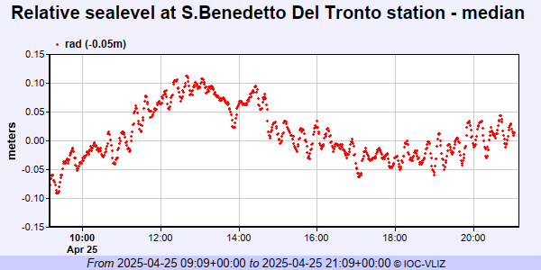 PSMSL Annual Mean Sea Level for '2143'  PSMSL Monthly Mean Sea Level for '2143' 
|
|
|