| Station catalog metadata [edit] | [station overview] |
|---|
| SSC ID | SSC-rfrt |
| Station Name | Raoul Island Fishing Rock |
| Country | New Zealand |
| Latitude | -29.251144 |
| Longitude | -177.903842 |
| DateLastModified | 2015-10-22 19:02:29 |
| Linked codes |
|---|
| Codes | Location | Latitude | Longitude | Sensors |
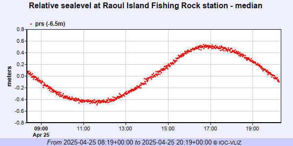
IOC: rfrt | Raoul Island Fishing Rock | -29.251144 | -177.903842 | prs |
PTWC: rfrt | Fishing_Rock_Raoul_Is_NZ | -29.2511 | -177.9038 | prs |
| Distributed metadata source: IOC Sea Level Station Monitoring Facility rfrt |
|---|
| GTS station code | RFRT |
| GTS message type | SZNZ01 |
| Status | Operational |
| Local Contact | Land Information New Zealand ( New Zealand ) |
| Connection | GTS message |
| Country | New Zealand |
| Sensor 1 | |
| Type of sensor | prs |
| Sampling rate (min) | 1 |
| Distributed metadata source: PTWC COMP META file |
| DCP ID | RFRT |
| WMO | SZNZ01 |
| Samp Rate | 1 |
| Num# Samp | 6 |
| Unit | M |
| Scale | 1.0000 |
| Xmt Int. | 003 |
| Fst Min. | 0000 |
| HAR | 1 |
| Owner | GNS |
IOC Sea Level Station Monitoring Facility - realtime graph for 'rfrt'