 |
SEALEVEL STATION CATALOG (SSC) |
|
|
|
|
|
| Station catalog metadata [edit] | [station overview] |
|---|
| SSC ID | SSC-ptsc | | Station Name | Port St. Charles | | Country | Barbados | | Latitude | 13.262981 | | Longitude | -59.644853 | | DateLastModified | 2015-10-22 19:02:29 |
| Linked codes |
|---|
| Codes | Location | Latitude | Longitude | Sensors | IOC: ptsc | Port St. Charles | 13.262981 | -59.644853 | rad, bat, prs |
PTWC: ptsc | Port_St_Charles_BB | 13.2630 | -59.6448 | bub, prs, rad |
PSMSL: 888 | ST. JAMES | 13.183333 | -59.65 | N/A |
| Distributed metadata source: IOC Sea Level Station Monitoring Facility ptsc |
|---|
| GTS station code | BAB00078 |
| GTS message type | SOBR10 |
| Status | Operational |
| Local Contact | Coastal Zone Management Unit ( Barbados ) |
| Other Contact | International Tsunami Information Center Caribbean Office ( USA ) |
| Connection | GTS message |
| Country | Barbados |
| Sensor 1 | |
| Type of sensor | rad |
| Sampling rate (min) | 1 |
| Sensor 2 | |
| Type of sensor | prs |
| Sampling rate (min) | 1 |
| Sensor 3 | |
| Type of sensor | bat |
| Sampling rate (min) | 5 |
| Distributed metadata source: PTWC COMP META file |
| DCP ID | BAB00078 |
| WMO | SOBR10 |
| Samp Rate | 1 |
| Num# Samp | 5 |
| Unit | m |
| Scale | 1.0000 |
| Xmt Int. | 005 |
| Fst Min. | 0001 |
| HAR | 1 |
| Owner | CZMU |
| Distributed metadata source: PSMSL |
| Name | ST. JAMES |
| UHSLC ID | 249 |
| Is RLR | N |
| Has RLR Diagram | N link |
| QC Flag | N |
| Old ID | 910/001 |
| Last Updated | null |
| Supplier | LAMONT GEOLOGICAL OBSERVATORY |
| Address | Lamont Geological Observatory, Columbia University, Palisades, New York 10964, UNITED STATES |
| Metric Start | 1957 |
| Metric End | 1960 |
| Metric Completeness | 77.1 |
| Download metric sea level data. | Use only with extreme caution. |
IOC Sea Level Station Monitoring Facility - realtime graph for 'ptsc' 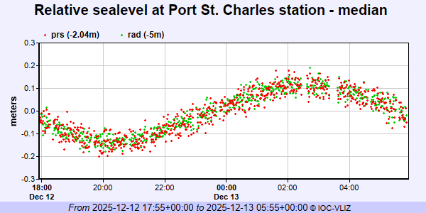 PSMSL Annual Mean Sea Level for '888'  PSMSL Monthly Mean Sea Level for '888' 
|
|
|