 |
SEALEVEL STATION CATALOG (SSC) |
|
|
|
|
|
| Station catalog metadata [edit] | [station overview] |
|---|
| SSC ID | SSC-prsj | | Station Name | Puerto San José | | Country | Guam | | Latitude | 13.9222 | | Longitude | -90.801 | | DateLastModified | 2024-09-09 16:56:54 |
| Linked codes |
|---|
| Codes | Location | Latitude | Longitude | Sensors | IOC: prsj | Puerto San José | 13.922205 | -90.801041 | rad, bat |
PTWC: prsj | Puerto_San_Jose_GT | 13.9222 | -90.8010 | rad |
| Distributed metadata source: IOC Sea Level Station Monitoring Facility prsj |
|---|
| GTS station code | 9650511E |
| GTS message type | SOGU40 |
| Status | Operational |
| Local Contact | Instituto Nacional de Sismología, Vulcanología, Meteorología e Hidrología ( Guatemala ) |
| Other Contact | International Tsunami Information Center Caribbean Office ( USA ) |
| Connection | GTS message |
| Country | Guatemala |
| Sensor 1 | |
| Type of sensor | rad |
| Sampling rate (min) | 5 |
| Sensor 2 | |
| Type of sensor | bat |
| Sampling rate (min) | 5 |
| Distributed metadata source: PTWC COMP META file |
| DCP ID | 9650511E |
| WMO | SOGU40 |
| Samp Rate | 5 |
| Num# Samp | 1 |
| Unit | m |
| Scale | 1.0000 |
| Xmt Int. | 005 |
| Fst Min. | 0004 |
| HAR | 0 |
| Owner | INSV |
IOC Sea Level Station Monitoring Facility - realtime graph for 'prsj' 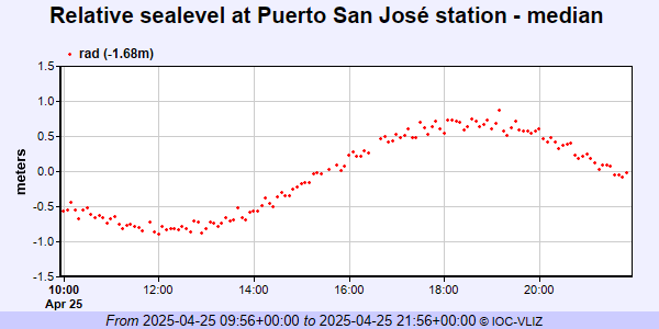
|
|
|