| Station catalog metadata [edit] | [station overview] |
|---|
| SSC ID | SSC-pnea |
| Station Name | Pointe-a-Pitre |
| Country | France |
| Latitude | 16.23333 |
| Longitude | -61.53333 |
| DateLastModified | 2015-10-22 19:02:29 |
| Linked codes |
|---|
| Codes | Location | Latitude | Longitude | Sensors |
IOC: ptpt | Pointe à Pitre, Guadeloupe | 16.224398 | -61.531452 | rad |
IOC: ptpt2 | Pointe à Pitre, Guadeloupe 2 | 16.224398 | -61.531452 | rad |
UHSLC: 272 | Pointe-Pitre | 16.225 | -61.532 | N/A |
PTWC: ptpt | Point_a_Pitre_GP | 16.2244 | -61.5314 | rad |
PSMSL: 1784 | POINTE-A-PITRE | 16.2244 | -61.531399 | N/A |
SONEL_GPS: 2502 | POINTE-A-PITRE | 16.26230556 | -61.52753056 | N/A |
SONEL_GPS: 3099 | POINTE-A-PITRE | 16.21746200 | -61.51236300 | N/A |
SONEL_TG: 1823 | POINTE-A-PITRE | 16.22439580 | -61.53166299 | N/A |
| Distributed metadata source: IOC Sea Level Station Monitoring Facility ptpt |
|---|
| Status | Operational |
| Local Contact | Service hydrographique et océanographique de la marine ( France ) |
| Other Contact | International Tsunami Information Center Caribbean Office ( USA ) |
| Connection | FTP box |
| Country | France |
| Sensor 1 | |
| Type of sensor | rad |
| Sampling rate (min) | 1 |
| Distributed metadata source: IOC Sea Level Station Monitoring Facility ptpt2 |
|---|
| GTS station code | FR125 |
| GTS message type | SZCA01 |
| Status | Operational |
| Local Contact | Service hydrographique et océanographique de la marine ( France ) |
| Other Contact | International Tsunami Information Center Caribbean Office ( USA ) |
| Connection | GTS message |
| Country | France |
| Sensor 1 | |
| Type of sensor | rad |
| Sampling rate (min) | 1 |
| Distributed metadata source: PTWC COMP META file |
| DCP ID | 181A4180 |
| WMO | SZCA01 |
| Samp Rate | 1 |
| Num# Samp | 12 |
| Unit | M |
| Scale | 1.0000 |
| Xmt Int. | 006 |
| Fst Min. | 0003 |
| HAR | 1 |
| Owner | SHOM |
| Distributed metadata source: UHSLC |
| UHSLC id | 272 |
| SSC id | pnea |
| UHSLC geojson | https://uhslc.soest.hawaii.edu/data/meta.geojson |
| Research quality data version a | 1983-01-05 - 2018-12-31 |
| RQ basin | atlantic |
| Distributed metadata source: PSMSL |
| Name | POINTE-A-PITRE |
| UHSLC ID | 272 |
| SONEL id | 2502 |
| Is RLR | Y |
| Has RLR Diagram | Y link |
| QC Flag | N |
| Old ID | 914/001 |
| Last Updated | 2026-02-20 |
| Supplier | METEO - FRANCE |
| Address | Meteo-France, Direction Interregionale Antilles-Guyane, B.P. 645, 97262 Fort-de-France CEDEX, MARTINIQUE |
| Metric Start | 1983 |
| Metric End | 2025 |
| Metric Completeness | 60.7 |
| RLR Start | 1983 |
| RLR End | 2025 |
| RLR Completeness | 60.7 |
| Download metric sea level data. | Use only with extreme caution. |
IOC Sea Level Station Monitoring Facility - realtime graph for 'ptpt'

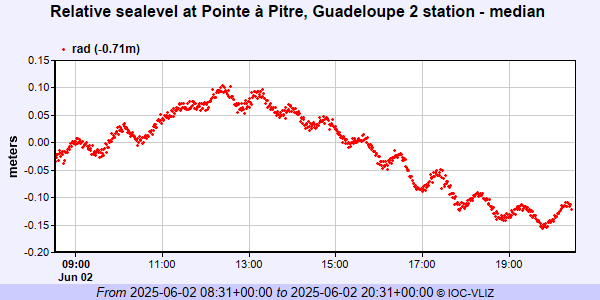
IOC Sea Level Station Monitoring Facility - realtime graph for 'ptpt2'
PSMSL Annual Mean Sea Level for '1784'

PSMSL Monthly Mean Sea Level for '1784'

