 |
SEALEVEL STATION CATALOG (SSC) |
|
|
|
|
|
| Station catalog metadata [edit] | [station overview] |
|---|
| SSC ID | SSC-naga | | Station Name | Nagaevo Bay | | Country | Russia | | Latitude | 59.73333 | | Longitude | 150.7 | | DateLastModified | 2015-10-22 19:02:29 |
| Distributed metadata source: GLOSS Station Handbook |
|---|
| Time Zone | 045E, GMT + 3hrs | | Ocean | Pacific | | Operational | Yes | | Responsible country | Russia | | Data acquisition rate | Hourly |
| Distributed metadata source: PSMSL |
| Name | NAGAEVO |
| GLOSS id | 92 |
| SONEL id | 917 |
| Is RLR | Y |
| Has RLR Diagram | Y link |
| QC Flag | Y |
| Old ID | 630/011 |
| Last Updated | 2025-10-20 |
| Supplier | WORLD DATA CENTER B1 |
| Address | World Data Center , Russian Federal Service for Hydrometeorology, and Environmental Monitoring, 6 Korolev Street, 249035 Obninsk, Kaluga Region, RUSSIAN FEDERATION |
| Metric Start | 1957 |
| Metric End | 2024 |
| Metric Completeness | 96.0 |
| RLR Start | 1957 |
| RLR End | 2024 |
| RLR Completeness | 96.0 |
| Download metric sea level data. | Use only with extreme caution. |
PSMSL Annual Mean Sea Level for '827'  PSMSL Monthly Mean Sea Level for '827' 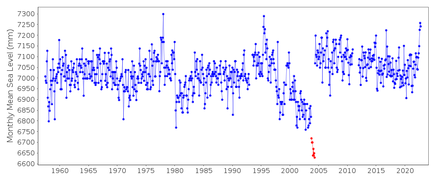
|
|
|