 |
SEALEVEL STATION CATALOG (SSC) |
|
|
|
|
|
| Station catalog metadata [edit] | [station overview] |
|---|
| SSC ID | SSC-cazu | | Station Name | Cerro Azul | | Country | Peru | | Latitude | -13.0258 | | Longitude | -76.4853 | | DateLastModified | 2024-09-09 16:44:54 |
| Linked codes |
|---|
| Codes | Location | Latitude | Longitude | Sensors | IOC: cazul | Cerro Azul, Cañete_PE | -13.02583 | -76.48527 | ecs |
PTWC: cazu | Cerro_Azul_Canete_PE | -13.0258 | -76.4853 | ecs |
| Distributed metadata source: IOC Sea Level Station Monitoring Facility cazul |
|---|
| Status | Operational |
| Local Contact | Dirección de Hidrografía y Navegación (Perú) |
| Connection | WEB service |
| Country | Perú |
| Sensor 1 | |
| Type of sensor | ecs |
| Sampling rate (min) | 1 |
| Distributed metadata source: PTWC COMP META file |
| DCP ID | 1234ABCF |
| WMO | FTPIO1 |
| Samp Rate | 1 |
| Num# Samp | 5 |
| Unit | m |
| Scale | 1.0000 |
| Xmt Int. | 005 |
| Fst Min. | 0000 |
| HAR | 0 |
| Owner | DHN |
IOC Sea Level Station Monitoring Facility - realtime graph for 'cazul' 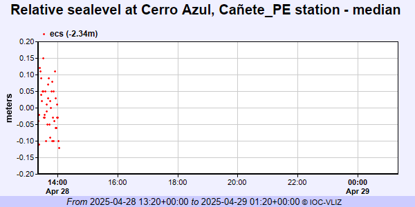
|
|
|