 |
SEALEVEL STATION CATALOG (SSC) |
|
|
|
|
|
| Station catalog metadata [edit] | [station overview] |
|---|
| SSC ID | SSC-bozy | | Station Name | Bozyazi | | Country | Turkey | | Latitude | 36.096111 | | Longitude | 32.94 | | DateLastModified | 2015-10-22 19:02:29 |
| Linked codes |
|---|
| Codes | Location | Latitude | Longitude | Sensors | IOC: bozy | Bozyazi | 36.09741973877 | 32.941310882568 | rad |
PTWC: bozy | Bozyazi_TK | 36.0974 | 32.9413 | rad |
PSMSL: 2014 | BOZYAZI | 36.096111 | 32.94 | N/A |
| Distributed metadata source: IOC Sea Level Station Monitoring Facility bozy |
|---|
| Status | Operational |
| Local Contact | General Directorate of Mapping ( Turkey ) |
| Other Contact | Kandilli Observatory and Earthquake Research Institute ( Turkey ) |
| Connection | WEB service |
| Country | Turkey |
| Sensor 1 | |
| Type of sensor | rad |
| Sampling rate (min) | 0.5 |
| Distributed metadata source: PTWC COMP META file |
| DCP ID | 1234ABD8 |
| WMO | FTPIO1 |
| Samp Rate | 0.5 |
| Num# Samp | 4 |
| Unit | m |
| Scale | 1.0000 |
| Xmt Int. | 002 |
| Fst Min. | 0000 |
| HAR | 0 |
| Owner | KOERI |
| Distributed metadata source: PSMSL |
| Name | BOZYAZI |
| Is RLR | N |
| Has RLR Diagram | N link |
| QC Flag | N |
| Old ID | 310/063 |
| Last Updated | 2010-06-14 |
| Supplier | GENERAL DIRECTORATE OF MAPPING |
| Address | General Directorate of Mapping, Tlp Fakultesi Cad, 06590 Cebeci/Cankaya, Ankara, TÜRKİYE |
| Metric Start | 2008 |
| Metric End | 2009 |
| Metric Completeness | 66.7 |
| Download metric sea level data. | Use only with extreme caution. |
IOC Sea Level Station Monitoring Facility - realtime graph for 'bozy' 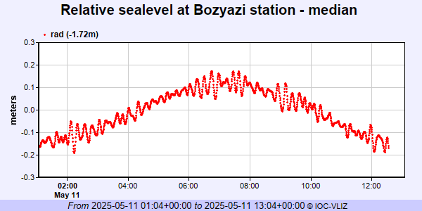 PSMSL Annual Mean Sea Level for '2014'  PSMSL Monthly Mean Sea Level for '2014' 
|
|
|